


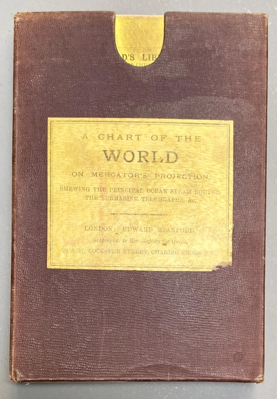
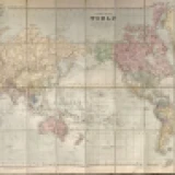
MAPA. "A Chart of the World on Mercator Projection showing the principal ocean steam routes, the submarine thelegraphe".
London: Edward Stanford, Geographer to Her Majesty the Queen. Plegado, en estuche. Entelado. Mide: 58 x 114 cm. En estuche.
Título |
MAPA. "A Chart of the World on Mercator Projection showing the principal ocean steam routes, the submarine thelegraphe". |
Lotes
 Lote #300
AFICHE
 Lote #301
ALBUM. "El...
 Lote #302
ALBUM."Alb...
 Lote #303
Anuario de...
 Lote #304
"Argentina".
 Lote #305
ATLAS. "De...
 Lote #306
BACLE, Cés...
 Lote #307
BARRANTES,...
 Lote #308
BARSKY, Ju...
 Lote #309
BENARÓS, L...
 Lote #310
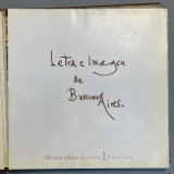
BORGES, Jo...
 Lote #311
BORGES, Jo...
 Lote #312
BORGES, Jo...
 Lote #313
CAMBRONERO...
 Lote #314
CANE, Migu...
 Lote #315
CARCANO, R...
 Lote #316
CARRANZA, ...
 Lote #317
CASTELAR, ...
 Lote #318
CATALOGOS ...
 Lote #319
Código Civil
 Lote #320
Colección ...
 Lote #321
CORDOVEZ M...
 Lote #322
CORTAZAR, ...
 Lote #323
Cuentistas...
 Lote #324
"Cuentos d...
 Lote #325
D´ HASTREL...
 Lote #326
Degli
 Lote #327
DEL CAMPO,...
 Lote #328
DEL VALLE,...
 Lote #329
Distancias...
 Lote #330
Documentos...
 Lote #331
Don Jacobo...
 Lote #332
El libro d...
 Lote #333
El Siglo d...
 Lote #334
Escenas de...
 Lote #335
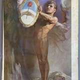
ESPARTACO,...
 Lote #336
FACIO, Sar...
 Lote #337
FERNANDEZ,...
 Lote #338
FOTOGRAFÍA...
 Lote #339
FOTOGRAFIA...
 Lote #340
FOTOGRAFIA...
 Lote #341
FOTOGRAFIA...
 Lote #342
FOTOGRAFIAS
 Lote #343
FREGIER, H...
 Lote #344
GENTE DE B...
 Lote #345
GIRRI- BAT...
 Lote #346
GRABADO. “...
 Lote #347
GUEVARA, J...
 Lote #348
GUIDO, Bea...
 Lote #349
GUNTHER, J...
 Lote #350
HADOT, Bar...
 Lote #351
HERNANDEZ,...
 Lote #352
HOGG, Rica...
 Lote #353
Intervenci...
 Lote #354
La semana ...
 Lote #355
LEHMAN - N...
 Lote #356
LIVACICH, ...
 Lote #357
MALLEA, Ed...
 Lote #358
MAPA. "A C...
 Lote #359
MARLAUX, A...
 Lote #360
MOLINARI, ...
 Lote #361
MUJICA LÁI...
 Lote #362
MUJICA LAI...
 Lote #363
OLASCOAGA,...
 Lote #364
PALLIERE, ...
 Lote #365
PELLIZA, M...
 Lote #366
PERIODICO....
 Lote #367
PERON, Eva.
 Lote #368
PIÑERO IÑI...
 Lote #369
Reglamento...
 Lote #370
REVISTA. "...
 Lote #371
REVISTA. "...
 Lote #372
REVISTA. "...
 Lote #373
REVISTA. "...
 Lote #374
REVISTA. "...
 Lote #375
SABAT ERCA...
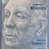 Lote #376
SABATO, Er...
 Lote #377
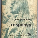
SAER, Juan...
 Lote #378
SCHIAFFINO...
 Lote #379
SHAKESPEARE.
 Lote #380
SUBIRA, Jo...
 Lote #381
VIDAL, Eme...
 Lote #382
WILDE, Edu...
 Lote #383
ZINNY, Ant...